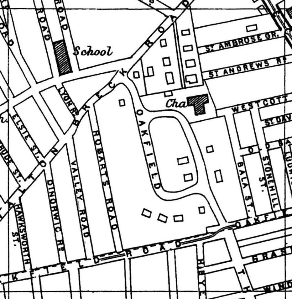
A 1900 Map of
Liverpool by Arthur Brown
Use the Arrows to see other pages Schools & Places of Worship
This is Sheet # K4
| STREETS |
|
|
| Anfield Rd
|
| Bala St
|
| Breck Rd
|
| Clapham Rd
|
| Dacy Rd
|
| Dinorwic St
|
| Elsie St
|
| Feltwell Rd
|
| Finchley Rd
|
| Gertrude St
|
| Grasmere St
|
| Hawksworth St
|
| Heyes St
|
| Lyon Rd
|
| Oakfield
|
| Oakfield Rd
|
| Oban Rd
|
| Old Barn Rd
|
| Robarts Rd
|
| Salisbury Rd
|
| St Ambrose Grove
|
| St Andrews Rd
|
| St Davids Rd
|
| St Domingo Grove
|
| St Domingo Vale
|
| Stonehill St
|
| Thirlmere Rd
|
| Thurston Rd
|
| Valley Rd
|
| Walton Breck Rd
|
| Westcott Rd
|
| Windermere St
|
Map Project © 2017 to 2022 by A. Brown art@justme.org.uk


