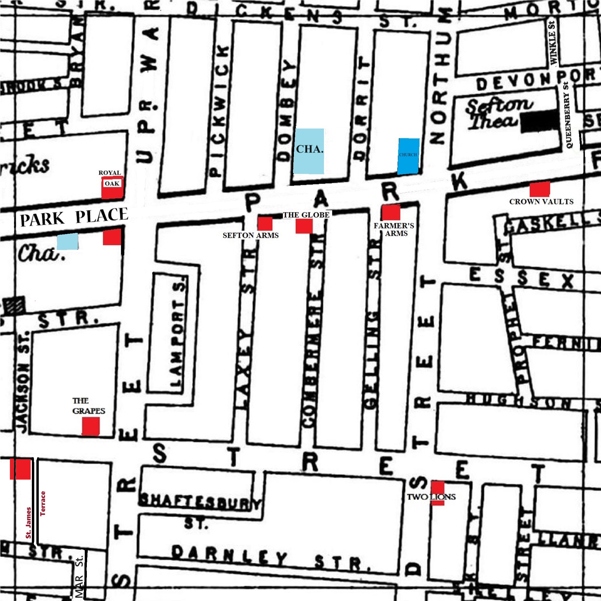
A 1900 Map of
Liverpool by Arthur Brown
Use the Arrows to see other pages Schools & Places of Worship
This is Sheet # U10
| STREETS |
|
|
| Bryan St
|
| Chester St
|
| Combermere St
|
| Darnley St
|
| Devonport St
|
| Dickens St
|
| Dombey St
|
| Dorrit St
|
| Essex St
|
| Fernie St
|
| Frank St
|
| Gaskell St
|
| Gelling St
|
| Hughson St
|
| Hyslop St
|
| Jackson St
|
| Lamport St
|
| Laxey St
|
| Llanrwst St
|
| Mill St
|
| Northumberland St
|
| Park Place
|
| Park Rd
|
| Pickwick St
|
| Prince William St
|
| Queenberry St
|
| Rutter St
|
| Seoint St
|
| Shaftesbury St
|
| Shelley St
|
| Upper Warwick St
|
| Warwick St
|
| Winkle St
|
Map Project © 2017 to 2022 by A. Brown art@justme.org.uk


