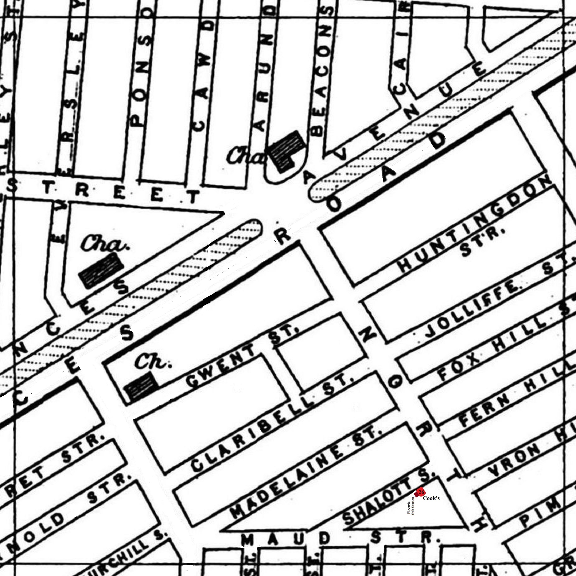
A 1900 Map of
Liverpool by Arthur Brown
Use the Arrows to see other pages Schools & Places of Worship
This is Sheet # U8
| STREETS |
| Arnold St
|
| Arundel St
|
| Beaconsfield St
|
| Cairns St
|
| Cawdor St
|
| Churchill St
|
| Claribel St
|
| Elaine St
|
| Enid St
|
| Eversley St
|
| Fern Hill St
|
| Fox Hill St
|
| Geriant St
|
| Gwendoline St
|
| Gwent St
|
| Hatherley St
|
| Huntingdon St
|
| Jermyn St
|
| Jolliffe St
|
| Madelaine St
|
| Maud St
|
| Merlin St
|
| Mulgrave St
|
| North Hill St
|
| Pim Hill St
|
| Pomfret St
|
| Ponsonby St
|
| Princes Ave
|
| Princes Rd
|
| Shalott St
|
| Upper Warwick St
|
| Vron Hill St
|
Map Project © 2017 to 2022 by A. Brown art@justme.org.uk


