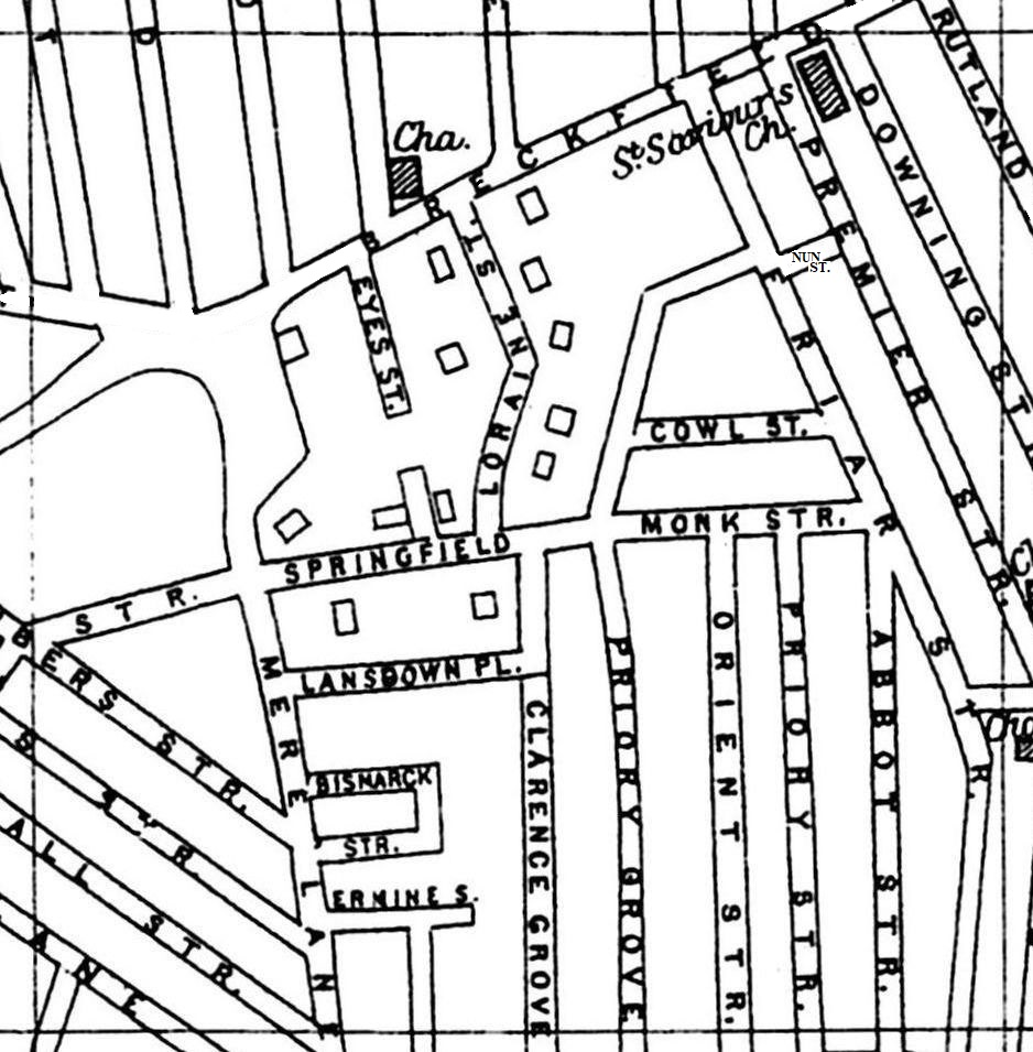
A 1900 Map of
Liverpool by Arthur Brown
Use the Arrows to see other pages Schools & Places of Worship
This is Sheet # K6
| STREETS |
|
|
| Abbot St
|
| Beacon Lane
|
| Bismark St
|
| Breckfield Road North
|
| Chambers St
|
| Clarence Grove
|
| Cowl St
|
| Dacy Rd
|
| Downing St
|
| Ermine St
|
| Eyes St
|
| Friar St
|
| Granton Rd
|
| Herschel St
|
| Lansdowne Place
|
| Leadenhall St
|
| Loraine St
|
| Louis St
|
| Mere Lane
|
| Monk St
|
| Nun St
|
| Orient St
|
| Premier St
|
| Priory Grove
|
| Priory St
|
| Robson St
|
| Rutland St
|
| Salisbury Rd
|
| Springfield
|
| St Domingo Grove
|
| St Domingo Vale
|
| Wye St
|

Map Project © 2017 to 2022 by A. Brown art@justme.org.uk


