A 1900 Map of
Liverpool by Arthur Brown
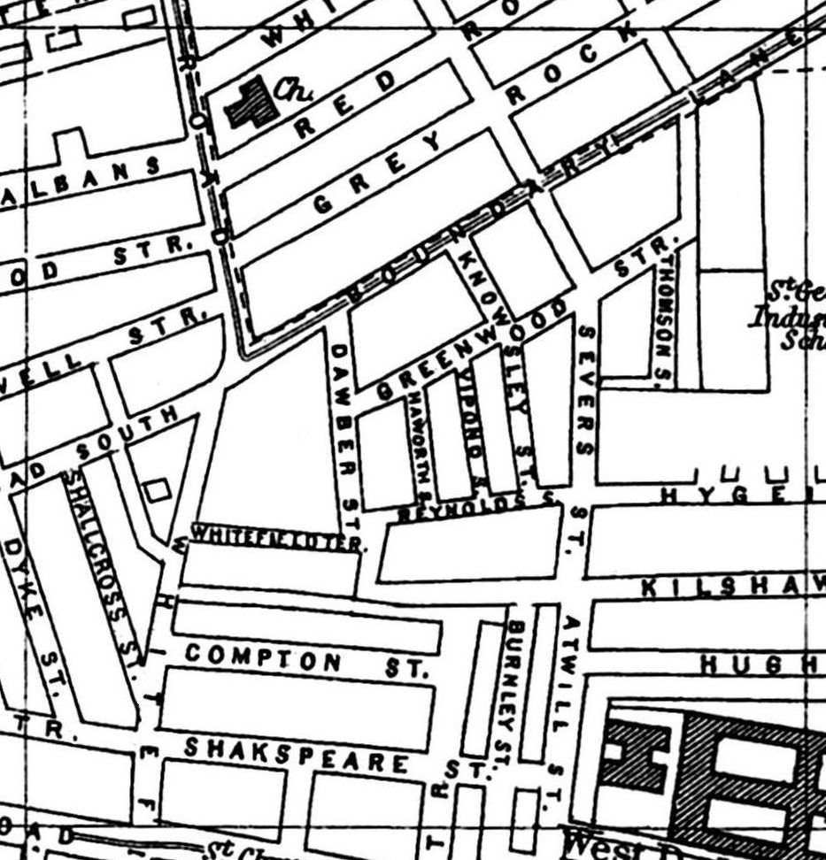
Use the Arrows to see other pages Schools & Places of Worship
This is Sheet # M5
| STREETS |
|
|
| Boundary Lane
|
| Breckfield Rd South
|
| Burnley St
|
| Compton St
|
| Dawber St
|
| Dyke St
|
| Greenwood St
|
| Grey Rock St
|
| Harewood St
|
| Haworth St
|
| Howat St
|
| Hughes St
|
| Hygeia St
|
| Kilshaw St
|
| Knowsley St
|
| Queens Rd
|
| Red Rock St
|
| Reynolds St
|
| Rothwell St
|
| Severs St
|
| Shakspeare St
|
| Shallcross St
|
| Spencer St
|
| St Albans
|
| Thomson St
|
| Vipond St
|
| White Rock St
|
| Whitefield Lane
|
| Whitefield Rd
|
| Whitefield Terrace
|
Map Project © 2017 to 2022 by A. Brown art@justme.org.uk


