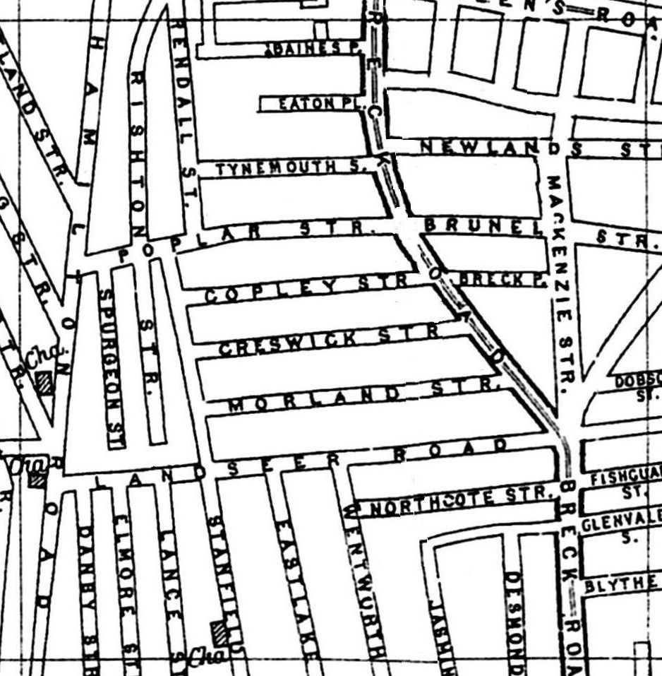
A 1900 Map of
Liverpool by Arthur Brown
Use the Arrows to see other pages Schools & Places of Worship
This is Sheet # L6
| STREETS |
|
|
| Baines Place
|
| Blythe St
|
| Breck Place
|
| Breck Rd
|
| Brunel St
|
| Copley St
|
| Creswick St
|
| Danby St
|
| Desmond St
|
| Dobson St
|
| Downing St
|
| Eastlake St
|
| Eaton Place
|
| Elmore St
|
| Fishguard St
|
| Glenvale St
|
| Hamilton Rd
|
| Jasmine St
|
| Kendall St
|
| Lance St
|
| Landseer Rd
|
| Mackenzie St
|
| Morland St
|
| Newlands St
|
| Northcote St
|
| Poplar St
|
| Premier St
|
| Queens Rd
|
| Rishton St
|
| Rutland St
|
| Spurgeon St
|
| Stanfield Rd
|
| Tynemouth St
|
| Wentworth St
|
Map Project © 2017 to 2022 by A. Brown art@justme.org.uk


