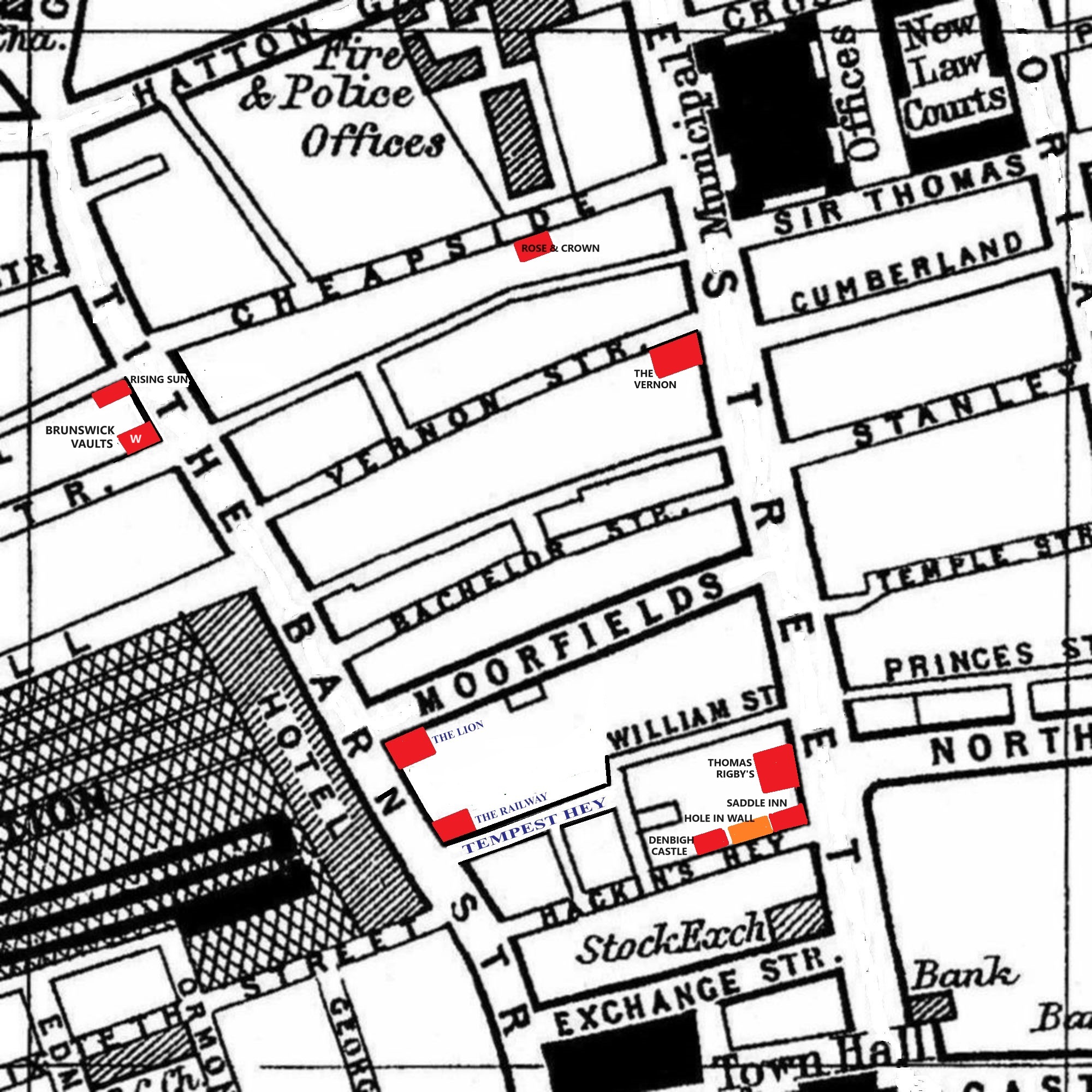
A 1900 Map of
Liverpool by Arthur Brown
Use the Arrows to see other pages Schools & Places of Worship
This is Sheet # N11
| STREETS |
|
|
| Bachelor St
|
| Bixteth St
|
| Cheapside
|
| Crosshall St
|
| Cumberland St
|
| Dale St
|
| Edmond St
|
| Exchange St
|
| George St
|
| Great Crosshall St
|
| Hackins Hey
|
| Hatton Garden
|
| Highfield St
|
| Milk St
|
| Moorfields
|
| North John St
|
| Ormond St
|
| Pall Mall
|
| Peter St
|
| Princes St
|
| Sir Thomas St
|
| Stanley St
|
| Tempest Hey
|
| Temple St
|
| Tithe Barn St
|
| Vernon St
|
| Victoria St
|
| William St
|
Map Project © 2017 to 2022 by A. Brown art@justme.org.uk


