A 1900 Map of
Liverpool by Arthur Brown
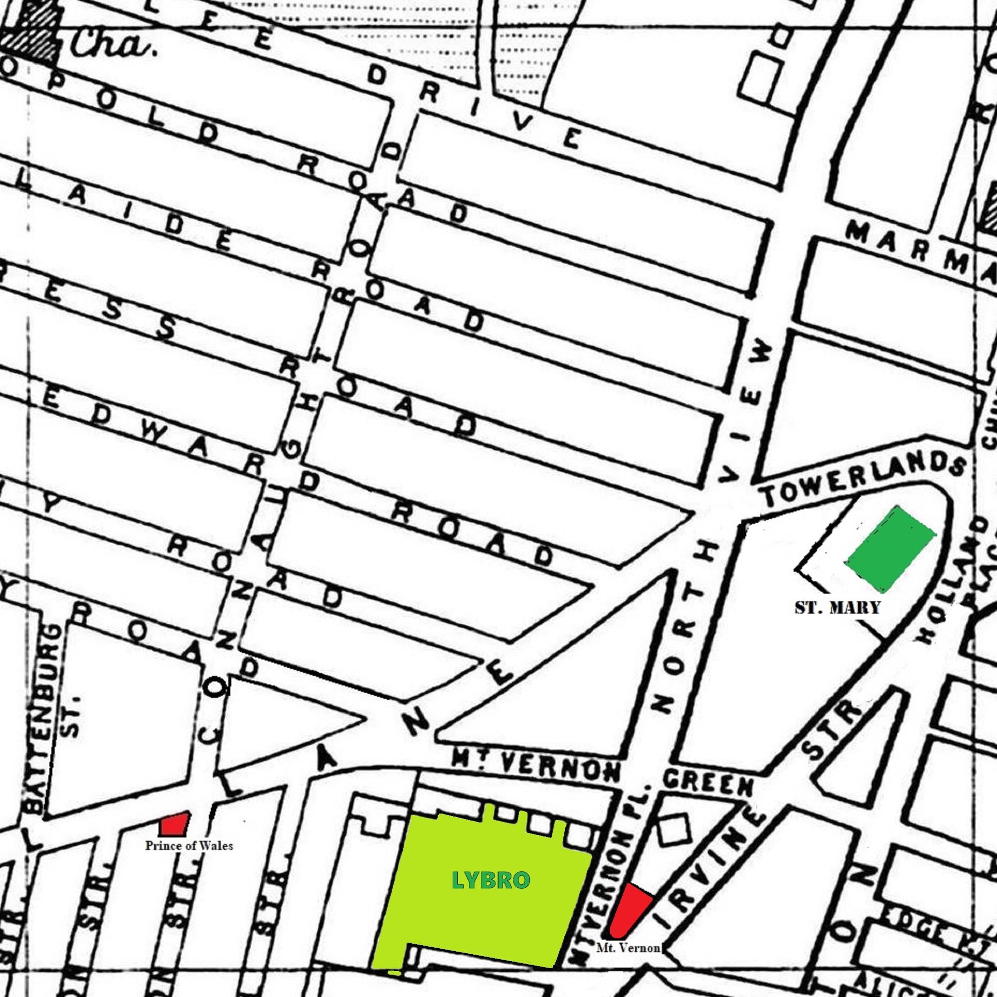
Use the Arrows to see other pages Schools & Places of Worship
This is Sheet # P6
| STREETS |
|
|
| Adelaide Rd
|
| Albany Rd
|
| Albert Edward Rd
|
| Battenburg St
|
| Bengel St
|
| Connaught Rd
|
| Edge Lane
|
| Edge Mount
|
| Empress Rd
|
| Hall Lane
|
| Highgate St
|
| Holland Place
|
| Horsley St
|
| Irvine St
|
| Jubilee Dr
|
| Jubilee Dr
|
| Leopold Rd
|
| Marmaduke St
|
| Mason St
|
| Mount Vernon Green
|
| Mount Vernon Place
|
| North View
|
| Paddington
|
| Royston St
|
| Saxony Rd
|
| Tillotson St
|
| Towerlands St
|
| Warburton St
|
Map Project © 2017 to 2022 by A. Brown art@justme.org.uk


