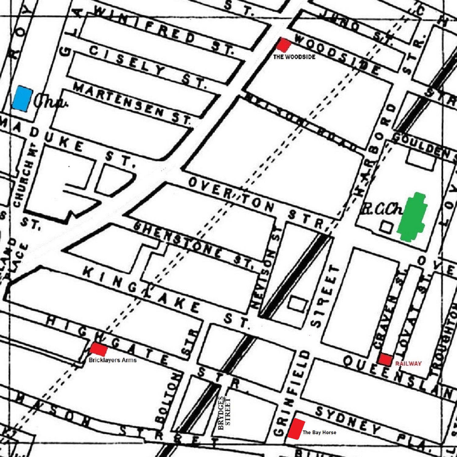
A 1900 Map of
Liverpool by Arthur Brown
Use the Arrows to see other pages Schools & Places of Worship
This is Sheet # R6
| STREETS |
|
|
| Bolton St
|
| Chatsworth St
|
| Church Mount
|
| Cisely St
|
| Craven St
|
| Edge Mount
|
| Elm Grove
|
| Gladstone St
|
| Goulden St
|
| Grinfield St
|
| Harbord St
|
| Highgate St
|
| Holland Place
|
| Janet St
|
| Juno St
|
| Kinglake St
|
| Lovat St
|
| Marmaduke St
|
| Martensen St
|
| Mason St
|
| Nelson Rd
|
| Nevison St
|
| Overbury St
|
| Overton St
|
| Queensland St
|
| Royston St
|
| Shenstone St
|
| Sydney Place
|
| Towerlands St
|
| Troughton St
|
| Wavertree Rd
|
| Winifred St
|
| Woodside St |
Map Project © 2017 to 2022 by A. Brown art@justme.org.uk


