A 1900 Map of
Liverpool by Arthur Brown
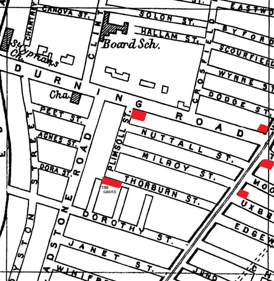
Use the Arrows to see other pages Schools & Places of Worship
This is Sheet # R5
| STREETS |
|
|
| Agnes St
|
| Byford St
|
| Canova St
|
| Chantrey St
|
| Chatsworth St
|
| Clint St
|
| Crossfield St
|
| Dodge St
|
| Dora St
|
| Dorothy St
|
| Durning Rd
|
| Eastwood St
|
| Edgeware St
|
| Gladstone St
|
| Hallam St
|
| Janet St
|
| Juno St
|
| Milroy St
|
| Moorgate St
|
| Nuttall St
|
| Peet St
|
| Plimsoll St
|
| Royston St
|
| Scourfield St
|
| Solon St
|
| Solon St
|
| Thorburn St
|
| Uxbridge St
|
| Wavertree Rd
|
| Winifred St
|
| Wynne St
|
Map Project © 2017 to 2022 by A. Brown art@justme.org.uk


