A 1900 Map of
Liverpool by Arthur Brown
Use the Arrows to see other pages Schools & Places of Worship
This is Sheet # X10
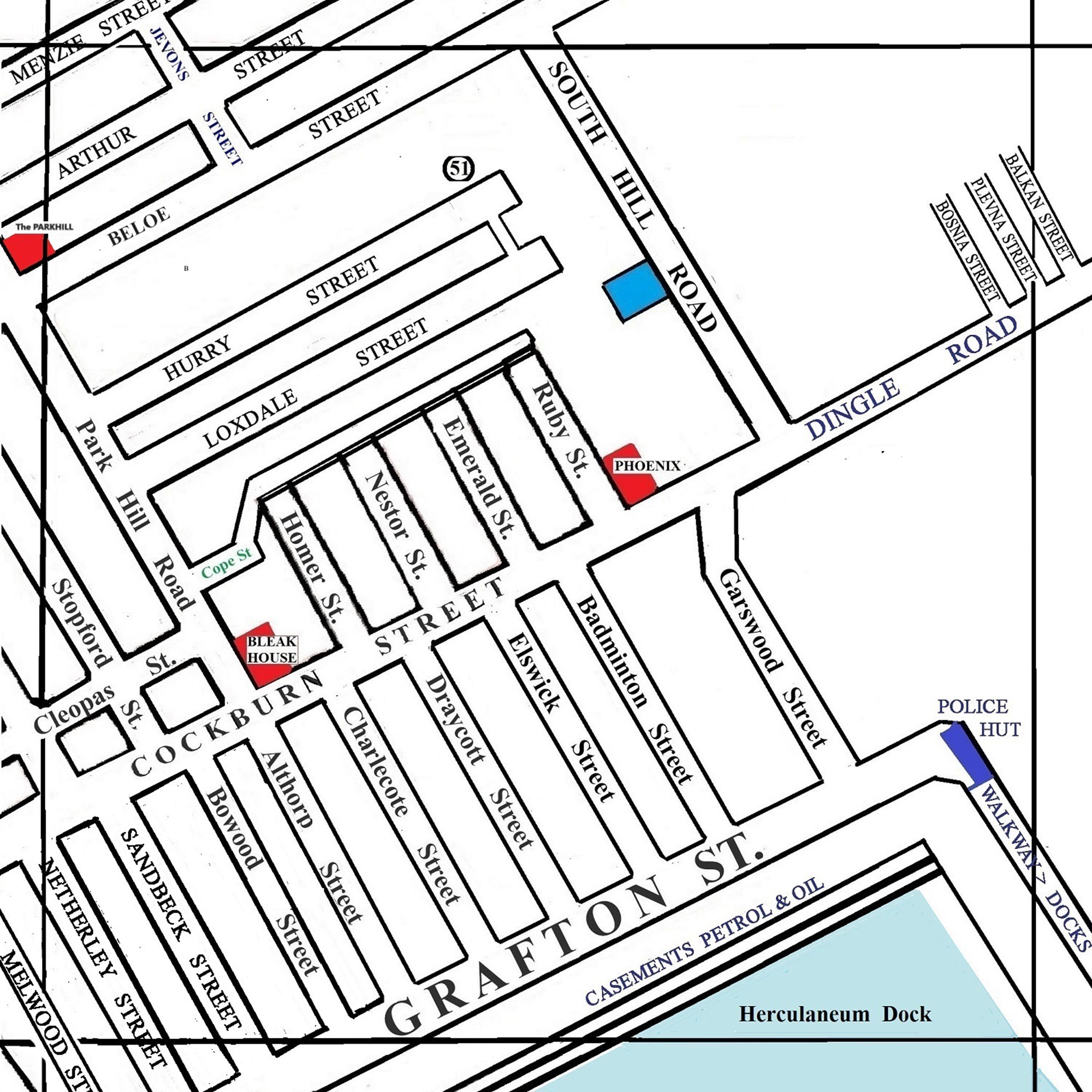
| STREETS |
|
|
| Althorp St
|
| Arthur St
|
| Badminton St
|
| Balkan St
|
| Below St
|
| Bosnia St
|
| Bowood St
|
| Cleopas St
|
| Charlecote St
|
| Cockburn St
|
| Cope St
|
| Dingle Rd
|
| Draycott St
|
| Elswick St
|
| Emerald St
|
| Garswood St
|
| Gosford St
|
| Grafton St
|
| Homer St
|
| Hurry St
|
| Jevons St
|
| Loxdale St
|
| Malwood St
|
| Menzie St
|
| Nestor St
|
| Netherby St
|
| Park Hill Road
|
| Plevna St
|
| Ruby St
|
| Sandbeck St
|
| South Hill Rd
|
| Stopford St
|
Map Project 2017 to 2023 by A. Brown art@justme.org.uk


