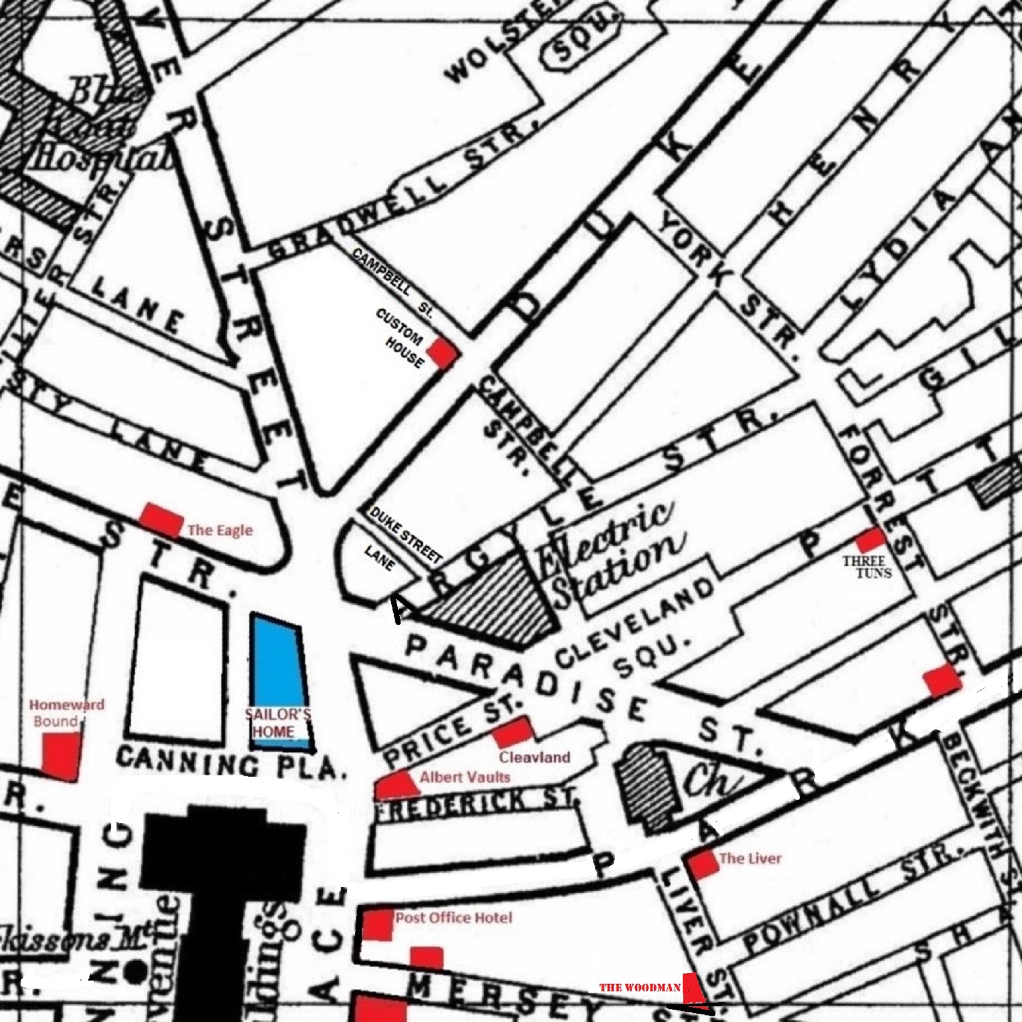
A 1900 Map of
Liverpool by Arthur Brown
Use the Arrows to see other pages Schools & Places of Worship
This is Sheet # P11
| STREETS |
|
|
| Argyle St
|
| Beckwith St
|
| Campbell St
|
| Canning Place
|
| Cleveland Sq
|
| Collier St
|
| Duke St
|
| Forrest St
|
| Frederick St
|
| Gilbert St
|
| Gradwell St
|
| Hanover St
|
| Henry St
|
| Liver St
|
| Lydia Ann St
|
| Manesty Lane
|
| Mersey St
|
| Paradise St
|
| Park Lane
|
| Peters Lane
|
| Pitt St
|
| Pownall St
|
| Price St
|
| Seel St
|
| Shaws Alley
|
| South Castle St
|
| South John St
|
| Upper Pownall St
|
| Wolstenholme Sq
|
| York St
|
Map Project © 2017 to 2022 by A. Brown art@justme.org.uk


